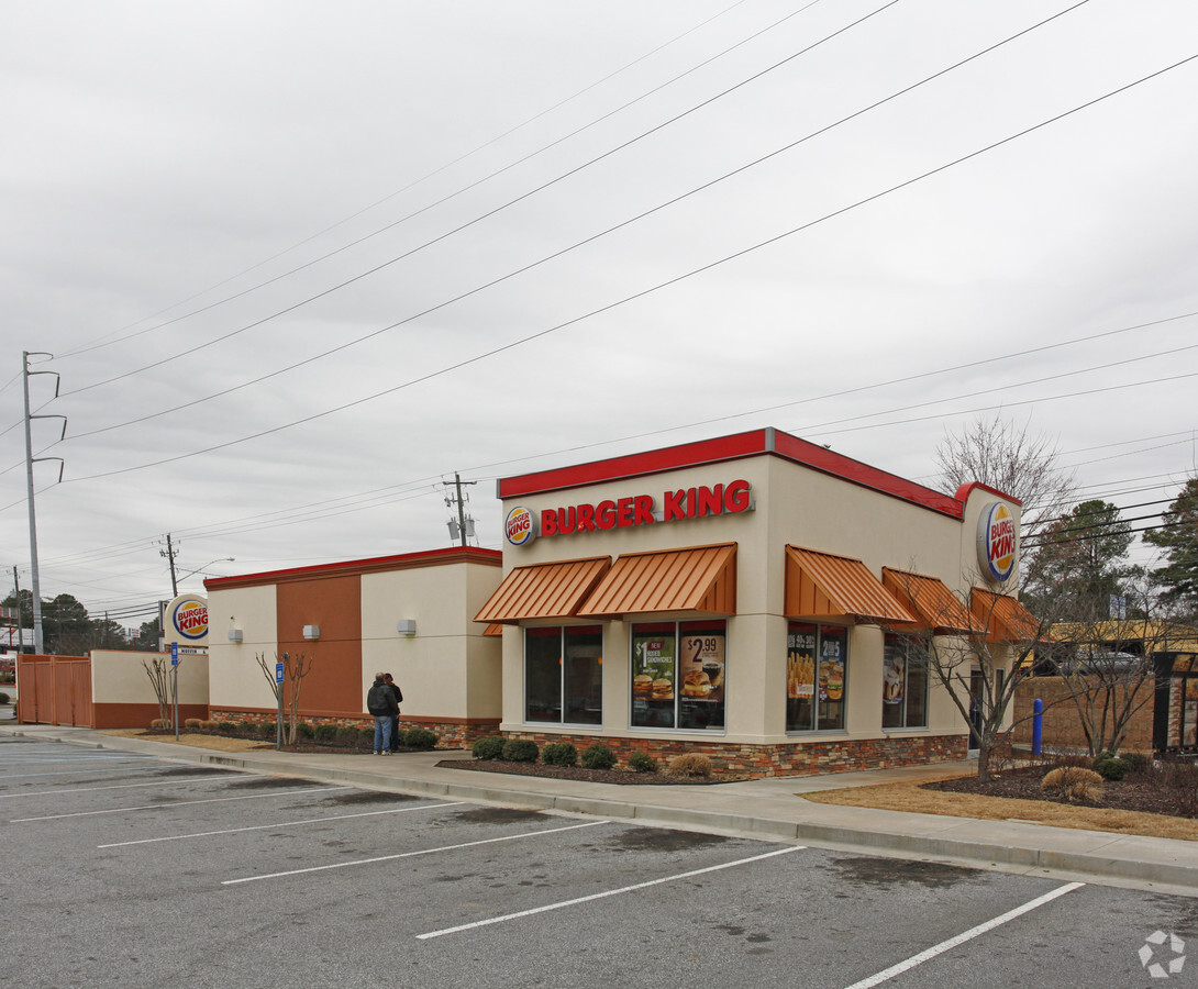
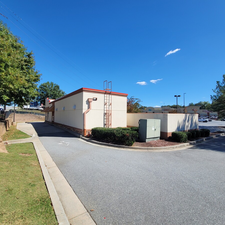
Property Record
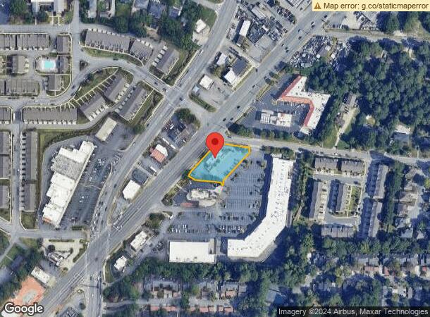
3983 Buford Hwy Ne, Atlanta, GA 30345

Current Lease Availabilities
NEARBY LISTINGS FOR SALE OR LEASE
Property Detail
3983 Buford Hwy Ne
Atlanta-Sandy Springs-Roswell, GA
Crossroads Village Revision
18-236-05-026
23 X 180 X 139 X 10 X ... BLDG 18 03/03/2009 .69 AC CROSSROADS VILLAGE REVISION 2
Restaurantdrivein
DeKalb
X
Georgia
13089C0056K
239
2023
0.70 AC
2023
Buckhead/Lenox
021410
Atlanta
2,529 SF
DEMOGRAPHICS near 3983 Buford Hwy Ne
1 Mile
3 Mile
5 Mile
2024 Total Population
18,261
119,067
322,244
2029 Population
18,220
119,141
325,137
Pop Growth 2024-2029
(0.22%)
+ 0.06%
+ 0.90%
Average Age
33
37
38
2024 Total Households
7,009
51,682
147,498
HH Growth 2024-2029
(0.24%)
+ 0.14%
+ 1.20%
Median Household Inc
$84,437
$99,543
$93,325
Avg Household Size
2.50
2.20
2.10
2024 Avg HH Vehicles
2.00
2.00
2.00
Median Home Value
$466,284
$514,176
$482,154
Median Year Built
1978
1988
1988
Nearby Places
- Restaurants
- Banks
- Shops
- Fitness
- Groceries
PUBLIC TRANSPORTATION
COMMUTER RAIL
Atlanta (Crescent - Amtrak)
DRIVE
WALK
Distance
Atlanta (Crescent - Amtrak)
11 min
6.7 mi
AIRPORT
Hartsfield - Jackson Atlanta International
DRIVE
WALK
Distance
Hartsfield - Jackson Atlanta International
30 min
19.9 mi
Freight Ports
Georgia Ports - Savannah
DRIVE
WALK
Distance
Georgia Ports - Savannah
293 min
259.2 mi
Nearby Properties
Address
Land Use
TOTAL SIZE
Lot Size
Zoning
Address
Land Use
TOTAL SIZE
Lot Size
Zoning
12,600 SF
508.30 AC
M
Address
Land Use
TOTAL SIZE
Lot Size
Zoning
1,233,815 SF
2.18 AC
PDMU
Address
Land Use
TOTAL SIZE
Lot Size
Zoning
169,435 SF
75.80 AC
M
Address
Land Use
TOTAL SIZE
Lot Size
Zoning
1,410,148 SF
9.58 AC
RG5
Address
Land Use
TOTAL SIZE
Lot Size
Zoning
188,648 SF
5.10 AC
X
Address
Land Use
TOTAL SIZE
Lot Size
Zoning
863,826 SF
3.79 AC
C4
Address
Land Use
TOTAL SIZE
Lot Size
Zoning
432,424 SF
3.90 AC
MC
Address
Land Use
TOTAL SIZE
Lot Size
Zoning
345,125 SF
7.73 AC
C1
Address
Land Use
TOTAL SIZE
Lot Size
Zoning
131,793 SF
4.30 AC
X
Address
Land Use
TOTAL SIZE
Lot Size
Zoning
600,502 SF
4.46 AC
R3
Address
Land Use
TOTAL SIZE
Lot Size
Zoning
504,949 SF
2.86 AC
R3
Address
Land Use
TOTAL SIZE
Lot Size
Zoning
847,094 SF
0.82 AC
PDOC
Address
Land Use
TOTAL SIZE
Lot Size
Zoning
713,717 SF
2.82 AC
R3
Address
Land Use
TOTAL SIZE
Lot Size
Zoning
267,426 SF
7.10 AC
OI
Address
Land Use
TOTAL SIZE
Lot Size
Zoning
191,941 SF
3 AC
OCR
Address
Land Use
TOTAL SIZE
Lot Size
Zoning
338,478 SF
12.40 AC
OI
Address
Land Use
TOTAL SIZE
Lot Size
Zoning
95,000 SF
4.68 AC
OCR
Address
Land Use
TOTAL SIZE
Lot Size
Zoning
307,824 SF
15.80 AC
X
Address
Land Use
TOTAL SIZE
Lot Size
Zoning
533,393 SF
5.11 AC
RG5C
Address
Land Use
TOTAL SIZE
Lot Size
Zoning
457,330 SF
21 AC
RM-HD
Address
Land Use
TOTAL SIZE
Lot Size
Zoning
554,212 SF
4.56 AC
R3
Address
Land Use
TOTAL SIZE
Lot Size
Zoning
729,294 SF
0.01 AC
X
Address
Land Use
TOTAL SIZE
Lot Size
Zoning
166,377 SF
7.59 AC
X
Address
Land Use
TOTAL SIZE
Lot Size
Zoning
370,414 SF
13.20 AC
OI
Address
Land Use
TOTAL SIZE
Lot Size
Zoning
144,380 SF
3.84 AC
X
Address
Land Use
TOTAL SIZE
Lot Size
Zoning
157,133 SF
6.20 AC
M
Address
Land Use
TOTAL SIZE
Lot Size
Zoning
267,983 SF
13.40 AC
X
Address
Land Use
TOTAL SIZE
Lot Size
Zoning
1,018,860 SF
9.12 AC
RG4C
Address
Land Use
TOTAL SIZE
Lot Size
Zoning
88,932 SF
4.64 AC
C1
Address
Land Use
TOTAL SIZE
Lot Size
Zoning
431,259 SF
48.80 AC
RM100
The World's #1 Commercial Real Estate Marketplace
Connect with us
© 2025 CoStar Group
The information above has been obtained from sources believed reliable. While we do not doubt its accuracy we have not verified it and make no guarantee, warranty or representation about it. It is your responsibility to independently confirm its accuracy and completeness. Any projections, opinions, assumptions, or estimates used are for example only and do not represent the current or future performance of the property. The value of this transaction to you depends on tax and other factors which should be evaluated by your tax, financial, and legal advisors. You and your advisors should conduct a careful, independent investigation of the property to determine to your satisfaction the suitability of the property for your needs.